
秦淮河 topographic map
Interactive map
Click on the map to display elevation.
About this map
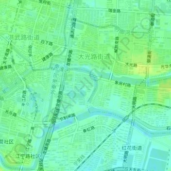
Name: 秦淮河 topographic map, elevation, terrain.
Location: 秦淮河, 秦虹街道, 秦淮区, 南京市, 江苏省, 210022, 中国 (32.01976 118.79581 32.02497 118.80138)
Average elevation: 43 ft
Minimum elevation: 20 ft
Maximum elevation: 69 ft
Other topographic maps
Click on a map to view its topography, its elevation and its terrain.