
准东经济技术开发区 topographic map
Interactive map
Click on the map to display elevation.
About this map
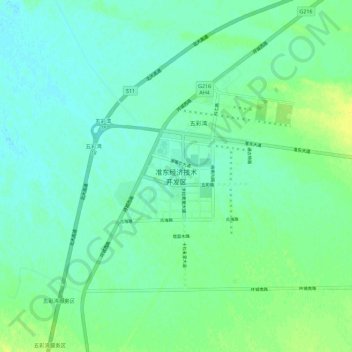
Name: 准东经济技术开发区 topographic map, elevation, terrain.
Location: 准东经济技术开发区, 吉木萨尔县, 昌吉回族自治州, 新疆维吾尔自治区, 中国 (44.74438 88.83043 44.82438 88.91043)
Average elevation: 1,555 ft
Minimum elevation: 1,532 ft
Maximum elevation: 1,591 ft
Other topographic maps
Click on a map to view its topography, its elevation and its terrain.