
Saran topographic map
Click on the map to display elevation.
About this map
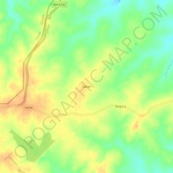
Name: Saran topographic map, elevation, terrain.
Location: Saran, Chakai, Jamui District, Bihar, India (24.46347 86.28962 24.50347 86.32962)
Average elevation: 1,102 ft
Minimum elevation: 1,037 ft
Maximum elevation: 1,155 ft