Thank you for supporting this site ❤️
Make a donation
Make a donation
Gear up for your next adventure:
As an Amazon Associate, this site earns from qualifying purchases at no extra cost to you.
Dawn topographic map
Click on the map to display elevation.
Thank you for supporting this site ❤️
Make a donation
Make a donation
Gear up for your next adventure:
As an Amazon Associate, this site earns from qualifying purchases at no extra cost to you.
About this map
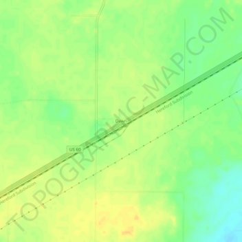
Name: Dawn topographic map, elevation, terrain.
Location: Dawn, Deaf Smith County, Texas, 79025, United States (34.89034 -102.21992 34.93034 -102.17992)
Average elevation: 3,806 ft
Minimum elevation: 3,753 ft
Maximum elevation: 3,839 ft
Deaf Smith County trails, hiking, mountain biking, running and outdoor activities
Thank you for supporting this site ❤️
Make a donation
Make a donation
Gear up for your next adventure:
As an Amazon Associate, this site earns from qualifying purchases at no extra cost to you.
