
Agassiz topographic map
Click on the map to display elevation.
About this map
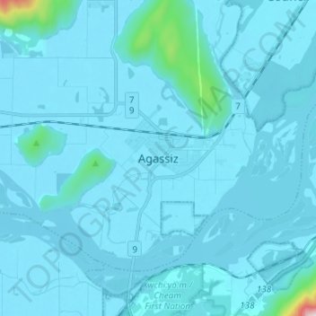
Name: Agassiz topographic map, elevation, terrain.
Average elevation: 157 ft
Minimum elevation: 33 ft
Maximum elevation: 3,284 ft
Other topographic maps
Click on a map to view its topography, its elevation and its terrain.
Harrison River
Canada > British Columbia > Fraser Valley Regional District > Kent > Harrison Mills
Average elevation: 148 ft
Hicks Lake
Canada > British Columbia > Fraser Valley Regional District > Kent
Average elevation: 1,237 ft
Campbell Lake
Canada > British Columbia > Fraser Valley Regional District > Kent
Average elevation: 1,732 ft