
Make a donation
Gear up for your next adventure:
As an Amazon Associate, this site earns from qualifying purchases at no extra cost to you.
Mansfield topographic map
Click on the map to display elevation.
Make a donation
Gear up for your next adventure:
As an Amazon Associate, this site earns from qualifying purchases at no extra cost to you.
About this map
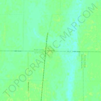
Name: Mansfield topographic map, elevation, terrain.
Location: Mansfield, Brown County, South Dakota, 57460, United States (45.22305 -98.58276 45.26305 -98.54276)
Average elevation: 1,293 ft
Minimum elevation: 1,270 ft
Maximum elevation: 1,306 ft
Brown County trails, hiking, mountain biking, running and outdoor activities
Make a donation
Gear up for your next adventure:
As an Amazon Associate, this site earns from qualifying purchases at no extra cost to you.
Other topographic maps
Click on a map to view its topography, its elevation and its terrain.
Groton City Limit
United States > South Dakota > Brown County > Groton City Limit
Average elevation: 1,306 ft
Make a donation
Gear up for your next adventure:
As an Amazon Associate, this site earns from qualifying purchases at no extra cost to you.