Geolocate

Weir topographic map

Click on the map to display elevation.

About this map

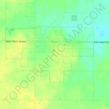
Name: Weir topographic map, elevation, terrain.

Location: Weir, Cherokee County, Kansas, United States (37.30000 -94.78772 37.31382 -94.75983)

Average elevation: 922 ft

Minimum elevation: 883 ft

Maximum elevation: 948 ft

Cherokee County trails, hiking, mountain biking, running and outdoor activities

Other topographic maps

Click on a map to view its topography, its elevation and its terrain.

East Galena

United States > Kansas > Cherokee County > Galena

Average elevation: 945 ft

Sherwin

United States > Kansas > Cherokee County

Average elevation: 853 ft

Gear up for your next adventure:

🏔️Mountain Trail Maps - High‑detail maps for popular peaks
🕶️Glacier Sunglasses - Side shields to protect eyes from high-altitude snow glare
🌡️Portable Weather Meter - Track weather conditions on the trail
🛡️Bear Spray Outdoor - Protection in bear country hikes
🌎3D Topographic Globes - Raised relief globes for a tactile understanding of geography

As an Amazon Associate, this site earns from qualifying purchases at no extra cost to you.