Geolocate

Chhatram topographic map

Click on the map to display elevation.

About this map

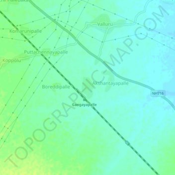
Name: Chhatram topographic map, elevation, terrain.

Location: Chhatram, Vallur, YSR District, Andhra Pradesh, 516293, India (14.53594 78.69821 14.57594 78.73821)

Average elevation: 446 ft

Minimum elevation: 427 ft

Maximum elevation: 472 ft

Other topographic maps

Click on a map to view its topography, its elevation and its terrain.

Vallur

India > Andhra Pradesh > Vallur

Average elevation: 456 ft

Gear up for your next adventure:

🛏️Cold Weather Sleeping Bag - Warm sleeping bag for cold conditions
🧣Hiking Neck Gaiter - Multi‑use neck protection for outdoor weather
🎒Gear Packing Cubes - Organize your backpack efficiently
🪶Survival Guide Book - Expert advice for emergency preparedness
🏥Hiking First Aid Kits - Comprehensive medical kits for remote trail injuries

As an Amazon Associate, this site earns from qualifying purchases at no extra cost to you.