
Chinchey topographic map
Interactive map
Click on the map to display elevation.
About this map
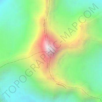
Name: Chinchey topographic map, elevation, terrain.
Location: Chinchey, Huari, Áncash, Perú (-9.38249 -77.33005 -9.38239 -77.32995)
Average elevation: 18,146 ft
Minimum elevation: 16,601 ft
Maximum elevation: 20,482 ft
Other topographic maps
Click on a map to view its topography, its elevation and its terrain.