Geolocate

Campbell topographic map

Click on the map to display elevation.

About this map

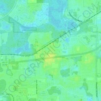
Name: Campbell topographic map, elevation, terrain.

Location: Campbell, Osceola County, Florida, United States (28.24956 -81.48049 28.27060 -81.43602)

Average elevation: 72 ft

Minimum elevation: 52 ft

Maximum elevation: 102 ft

Osceola County trails, hiking, mountain biking, running and outdoor activities

Other topographic maps

Click on a map to view its topography, its elevation and its terrain.

Kissimmee

United States > Florida > Osceola County

Average elevation: 79 ft

Harmony

United States > Florida > Osceola County

Average elevation: 72 ft

Poinciana

United States > Florida > Osceola County

Average elevation: 72 ft

Narcoossee

United States > Florida > Osceola County

Average elevation: 69 ft

ChampionsGate

United States > Florida > Osceola County

Average elevation: 118 ft

Cane Island

United States > Florida > Osceola County

Average elevation: 102 ft

Gear up for your next adventure:

👟Trail Running Shoes - Lightweight shoes for trail runners
🧷Carabiner Set - Durable clips for gear attachment
🛰️Satellite Messengers - Emergency SOS and two-way messaging for off-grid adventures
🧭Map Reading Tools - Tools and kits for map navigation
🔥Camping Stove - Portable stove for camping and backcountry cooking

As an Amazon Associate, this site earns from qualifying purchases at no extra cost to you.