Geolocate

Bath topographic map

Click on the map to display elevation.

About this map

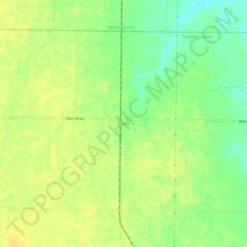
Name: Bath topographic map, elevation, terrain.

Location: Bath, Franklin County, Indiana, 47010, United States (39.48838 -84.88246 39.52838 -84.84246)

Average elevation: 1,024 ft

Minimum elevation: 974 ft

Maximum elevation: 1,050 ft

Franklin County trails, hiking, mountain biking, running and outdoor activities

Other topographic maps

Click on a map to view its topography, its elevation and its terrain.

Oldenburg

United States > Indiana > Franklin County

Average elevation: 945 ft

Mount Carmel

United States > Indiana > Franklin County

Average elevation: 1,007 ft

Gear up for your next adventure:

🔥Plasma Lighters - Windproof lighters that work in any weather condition
🧭Map Reading Tools - Tools and kits for map navigation
🔌USB Car Charger - Car charger for on‑the‑go power needs
😴Insulated Sleeping Pads - Compact and warm pads for high-elevation camping
🌧️Backpack Rain Cover - Keep gear dry in wet weather

As an Amazon Associate, this site earns from qualifying purchases at no extra cost to you.