
Kist topographic map
Interactive map
Click on the map to display elevation.
About this map
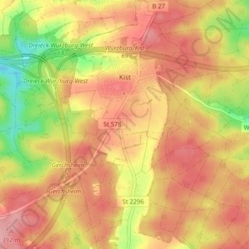
Name: Kist topographic map, elevation, terrain.
Average elevation: 1,135 ft
Minimum elevation: 889 ft
Maximum elevation: 1,286 ft
Other topographic maps
Click on a map to view its topography, its elevation and its terrain.
Veitshöchheim
Germany > Bavaria > Landkreis Würzburg
Veitshöchheim, Landkreis Würzburg, Bavaria, 97209, Germany
Average elevation: 810 ft
Prosselsheim
Germany > Bavaria > Landkreis Würzburg
Prosselsheim, Estenfeld (VGem), Landkreis Würzburg, Bavaria, 97279, Germany
Average elevation: 906 ft
Aub
Germany > Bavaria > Landkreis Würzburg
Aub, Verwaltungsgemeinschaft Aub, Landkreis Würzburg, Bavaria, 97239, Germany
Average elevation: 1,040 ft