
东环街道 topographic map
Interactive map
Click on the map to display elevation.
About this map
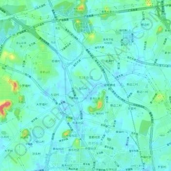
Name: 东环街道 topographic map, elevation, terrain.
Location: 东环街道, 番禺区, 广州市, 广东省, 中国 (22.95040 113.33076 22.98596 113.38687)
Average elevation: 49 ft
Minimum elevation: -13 ft
Maximum elevation: 262 ft
Other topographic maps
Click on a map to view its topography, its elevation and its terrain.