Geolocate
👉 Easily get elevation data in JSON, GeoTIFF and KML formats using Elevation API
Thank you for supporting this site ❤️
Make a donation

Sector 89 topographic map

Click on the map to display elevation.

About this map

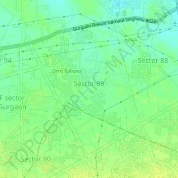
Name: Sector 89 topographic map, elevation, terrain.

Location: Sector 89, Gurgaon, Gurugram, Haryana, India (28.40720 76.93556 28.42797 76.95471)

Average elevation: 732 ft

Minimum elevation: 702 ft

Maximum elevation: 755 ft

Other topographic maps

Click on a map to view its topography, its elevation and its terrain.

Badshahpur

India > Haryana > Gurgaon

Average elevation: 748 ft

Damdama Lake

India > Haryana > Gurgaon

Average elevation: 794 ft

Gear up for your next adventure:

🛠️Outdoor Gear Repair Kit - Essential tools to fix gear on the trail
🩳Quick‑Dry Hiking Shorts - Comfortable and quick‑dry shorts for summer hiking
🪶Multi‑Purpose Knife - Useful blade for camp and trail
💧Water Filtration Bottles - Safely drink from streams and lakes while exploring
🎒Gear Packing Cubes - Organize your backpack efficiently

As an Amazon Associate, this site earns from qualifying purchases at no extra cost to you.