Geolocate

Matlacha topographic map

Click on the map to display elevation.

About this map

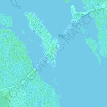
Name: Matlacha topographic map, elevation, terrain.

Location: Matlacha, Lee County, Florida, United States (26.62692 -82.07115 26.62943 -82.06909)

Average elevation: 3 ft

Minimum elevation: -3 ft

Maximum elevation: 20 ft

Lee County trails, hiking, mountain biking, running and outdoor activities

Gear up for your next adventure:

🎒Waterproof Dry Bags - Keep your electronics and maps dry inside your pack
🪶Paracord Bracelet - Survival bracelet with built‑in tools
🔦Powerful Headlamps - Ultra-bright hands-free lighting for night navigation
🦟Ultrasonic Repellers - Create a bug-free zone at your camp or rest stop
🔊Portable Camp Speaker - Music and alerts at camp

As an Amazon Associate, this site earns from qualifying purchases at no extra cost to you.