
天柱县 topographic map
Interactive map
Click on the map to display elevation.
About this map
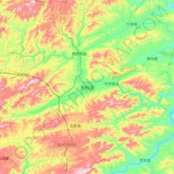
Name: 天柱县 topographic map, elevation, terrain.
Location: 天柱县, 黔东南苗族侗族自治州, 贵州省, 中国 (26.75300 109.04342 27.07300 109.36342)
Average elevation: 1,854 ft
Minimum elevation: 843 ft
Maximum elevation: 3,314 ft
Other topographic maps
Click on a map to view its topography, its elevation and its terrain.