
坌处镇 topographic map
Interactive map
Click on the map to display elevation.
About this map
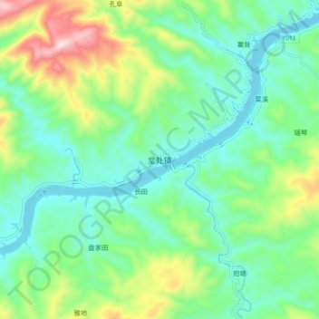
Name: 坌处镇 topographic map, elevation, terrain.
Location: 坌处镇, 天柱县, 黔东南苗族侗族自治州, 贵州省, 中国 (26.73897 109.28229 26.81897 109.36229)
Average elevation: 1,434 ft
Minimum elevation: 889 ft
Maximum elevation: 2,835 ft
Other topographic maps
Click on a map to view its topography, its elevation and its terrain.