
Serravalle topographic map
Interactive map
Click on the map to display elevation.
About this map
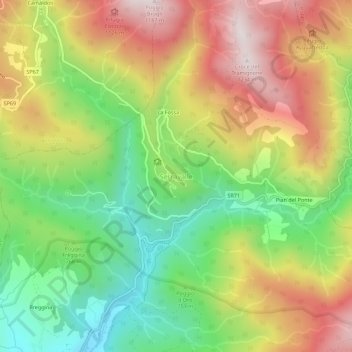
Name: Serravalle topographic map, elevation, terrain.
Location: Serravalle, Bibbiena, Arezzo, Toscana, 52014, Italia (43.75428 11.82181 43.79428 11.86181)
Average elevation: 2,644 ft
Minimum elevation: 1,467 ft
Maximum elevation: 4,012 ft
Other topographic maps
Click on a map to view its topography, its elevation and its terrain.