
Pian del Ponte topographic map
Interactive map
Click on the map to display elevation.
About this map
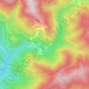
Name: Pian del Ponte topographic map, elevation, terrain.
Location: Pian del Ponte, Bibbiena, Arezzo, Toscana, Italia (43.75162 11.84039 43.79162 11.88039)
Average elevation: 2,864 ft
Minimum elevation: 1,539 ft
Maximum elevation: 4,012 ft
Other topographic maps
Click on a map to view its topography, its elevation and its terrain.