
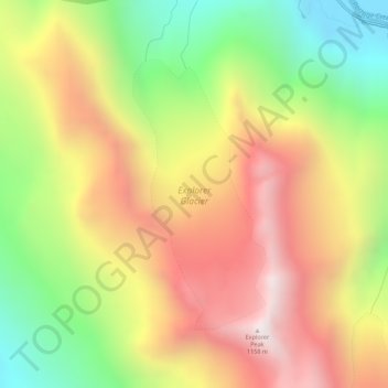
Explorer Glacier topographic map
Interactive map
Click on the map to display elevation.
About this map
Name: Explorer Glacier topographic map, elevation, terrain.
Average elevation: 1,834 ft
Minimum elevation: 66 ft
Maximum elevation: 3,547 ft
Other topographic maps
Click on a map to view its topography, its elevation and its terrain.
Minnesota Park
Minnesota Park, Anchorage, Alaska, USA
Average elevation: 95 ft
Mount Alyeska
Mount Alyeska, Anchorage, Alaska, USA
Average elevation: 2,336 ft