
Roy Lake topographic map
Click on the map to display elevation.
About this map
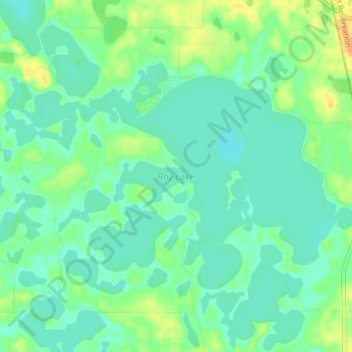
Name: Roy Lake topographic map, elevation, terrain.
Location: Roy Lake, Marshall County, South Dakota, United States (45.67788 -97.48633 45.71249 -97.40938)
Average elevation: 1,814 ft
Minimum elevation: 1,781 ft
Maximum elevation: 1,890 ft
Marshall County trails, hiking, mountain biking, running and outdoor activities