
Harlem topographic map
Click on the map to display elevation.
About this map
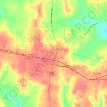
Name: Harlem topographic map, elevation, terrain.
Location: Harlem, Columbia County, Georgia, United States (33.39511 -82.34057 33.46780 -82.28545)
Average elevation: 459 ft
Minimum elevation: 331 ft
Maximum elevation: 568 ft
Columbia County trails, hiking, mountain biking, running and outdoor activities
Other topographic maps
Click on a map to view its topography, its elevation and its terrain.