
Lunsar topographic map
Click on the map to display elevation.
About this map
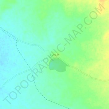
Name: Lunsar topographic map, elevation, terrain.
Location: Lunsar, Wankaner Taluka, Morbi District, Gujarat, India (22.64239 71.08405 22.68239 71.12405)
Average elevation: 341 ft
Minimum elevation: 308 ft
Maximum elevation: 390 ft