
Thank you for supporting this site ❤️
Make a donation
Make a donation
Gear up for your next adventure:
As an Amazon Associate, this site earns from qualifying purchases at no extra cost to you.
Sennwald topographic map
Click on the map to display elevation.
Thank you for supporting this site ❤️
Make a donation
Make a donation
Gear up for your next adventure:
As an Amazon Associate, this site earns from qualifying purchases at no extra cost to you.
About this map
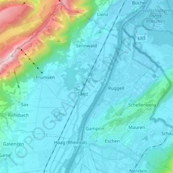
Name: Sennwald topographic map, elevation, terrain.
Location: Sennwald, Wahlkreis Werdenberg, St. Gallen, Schweiz (47.19794 9.40012 47.28302 9.53038)
Average elevation: 2,018 ft
Minimum elevation: 1,381 ft
Maximum elevation: 6,332 ft
Thank you for supporting this site ❤️
Make a donation
Make a donation
Gear up for your next adventure:
As an Amazon Associate, this site earns from qualifying purchases at no extra cost to you.