Geolocate

Minane topographic map

Click on the map to display elevation.

About this map

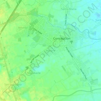
Name: Minane topographic map, elevation, terrain.

Location: Minane, Concepcion, Tarlac, Central Luzon, 2316, Philippines (15.30000 120.63078 15.34000 120.67078)

Average elevation: 115 ft

Minimum elevation: 89 ft

Maximum elevation: 141 ft

Other topographic maps

Click on a map to view its topography, its elevation and its terrain.

Parua River

Philippines > Tarlac > Concepcion

Average elevation: 141 ft

Gear up for your next adventure:

🗻Climbing Gear Basics - Essential gear for beginner climbers
🔥Camping Stove - Portable stove for camping and backcountry cooking
📚Navigation Handbooks - Master the art of reading topographic maps and using a compass
🥘Titanium Cookware - Durable, featherlight pots and pans for backpacking
❄️Traction Cleats - Prevent slips on icy trails during winter hikes

As an Amazon Associate, this site earns from qualifying purchases at no extra cost to you.