
Ader topographic map
Click on the map to display elevation.
About this map
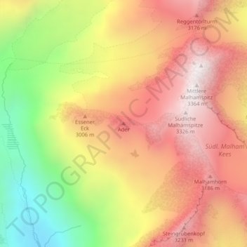
Name: Ader topographic map, elevation, terrain.
Location: Ader, Prägraten am Großvenediger, Bezirk Lienz, Austria (47.04300 12.24672 47.04310 12.24682)
Average elevation: 9,255 ft
Minimum elevation: 7,159 ft
Maximum elevation: 10,853 ft