
Thank you for supporting this site ❤️
Make a donation
Make a donation
Gear up for your next adventure:
As an Amazon Associate, this site earns from qualifying purchases at no extra cost to you.
Nuthe-Urstromtal topographic map
Click on the map to display elevation.
Thank you for supporting this site ❤️
Make a donation
Make a donation
Gear up for your next adventure:
As an Amazon Associate, this site earns from qualifying purchases at no extra cost to you.
About this map
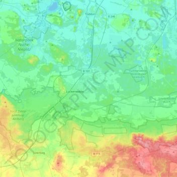
Name: Nuthe-Urstromtal topographic map, elevation, terrain.
Location: Nuthe-Urstromtal, Teltow-Fläming, Brandenburg, 14947, Germany (51.98099 12.95014 52.20812 13.41471)
Average elevation: 210 ft
Minimum elevation: 98 ft
Maximum elevation: 561 ft
Thank you for supporting this site ❤️
Make a donation
Make a donation
Gear up for your next adventure:
As an Amazon Associate, this site earns from qualifying purchases at no extra cost to you.