
Thank you for supporting this site ❤️
Make a donation
Make a donation
Gear up for your next adventure:
As an Amazon Associate, this site earns from qualifying purchases at no extra cost to you.
Tousmouline topographic map
Click on the map to display elevation.
Thank you for supporting this site ❤️
Make a donation
Make a donation
Gear up for your next adventure:
As an Amazon Associate, this site earns from qualifying purchases at no extra cost to you.
About this map
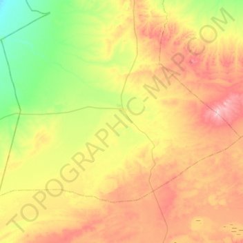
Name: Tousmouline topographic map, elevation, terrain.
Location: Tousmouline, Bougtob District, El Bayadh, Algeria (33.49250 0.06737 33.76223 0.55228)
Average elevation: 3,973 ft
Minimum elevation: 3,540 ft
Maximum elevation: 4,606 ft
Thank you for supporting this site ❤️
Make a donation
Make a donation
Gear up for your next adventure:
As an Amazon Associate, this site earns from qualifying purchases at no extra cost to you.