Geolocate

Kan topographic map

Click on the map to display elevation.

About this map

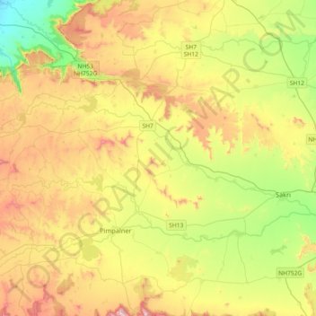
Name: Kan topographic map, elevation, terrain.

Location: Kan, Sakri, Dhule, Maharashtra, India (20.97008 73.98325 21.09068 74.34742)

Average elevation: 1,768 ft

Minimum elevation: 696 ft

Maximum elevation: 3,228 ft

Gear up for your next adventure:

🌡️Handheld Weather Meters - Measure wind, temp, and pressure for safe mountain travel
🥇GPS Hiking Watch - Multi‑sport GPS watch with navigation and trail tracking
🧭Orienteering Set - Complete compass and map reading kit
📖Nature Tracking Books - Learn to track wildlife and terrain
🔌USB Car Charger - Car charger for on‑the‑go power needs

As an Amazon Associate, this site earns from qualifying purchases at no extra cost to you.