
Taylor topographic map
Click on the map to display elevation.
About this map
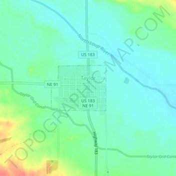
Name: Taylor topographic map, elevation, terrain.
Location: Taylor, Loup County, Nebraska, United States (41.76622 -99.38731 41.77321 -99.37602)
Average elevation: 2,287 ft
Minimum elevation: 2,241 ft
Maximum elevation: 2,402 ft
Loup County trails, hiking, mountain biking, running and outdoor activities