
La Morinière topographic map
Interactive map
Click on the map to display elevation.
About this map
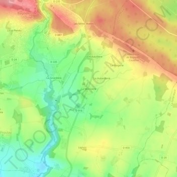
Name: La Morinière topographic map, elevation, terrain.
Average elevation: 591 ft
Minimum elevation: 410 ft
Maximum elevation: 774 ft
Other topographic maps
Click on a map to view its topography, its elevation and its terrain.
Le Gros Chene
France > Normandie > Orne > Rives-d'Andaine > La Chapelle-d'Andaine
Average elevation: 659 ft