
Río Moquegua topographic map
Interactive map
Click on the map to display elevation.
About this map
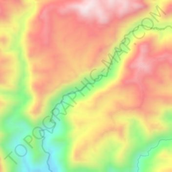
Name: Río Moquegua topographic map, elevation, terrain.
Location: Río Moquegua, Torata, Mariscal Nieto, Moquegua, Perú (-17.08402 -70.93070 -17.07387 -70.92025)
Average elevation: 7,037 ft
Minimum elevation: 6,125 ft
Maximum elevation: 7,654 ft
Other topographic maps
Click on a map to view its topography, its elevation and its terrain.
Cerro Baúl
Cerro Baúl, Torata, Mariscal Nieto, Moquegua, Perú
Average elevation: 7,156 ft
Provincia de Mariscal Nieto
Provincia de Mariscal Nieto, Torata, Mariscal Nieto, Moquegua, Perú
Average elevation: 12,625 ft