
Shawnee topographic map
Click on the map to display elevation.
About this map
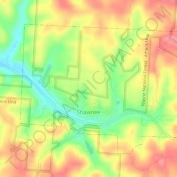
Name: Shawnee topographic map, elevation, terrain.
Location: Shawnee, Perry County, Ohio, 43782, United States (39.59838 -82.22524 39.61831 -82.18988)
Average elevation: 912 ft
Minimum elevation: 751 ft
Maximum elevation: 1,040 ft
Perry County trails, hiking, mountain biking, running and outdoor activities
Other topographic maps
Click on a map to view its topography, its elevation and its terrain.