
Kodarma topographic map
Click on the map to display elevation.
About this map
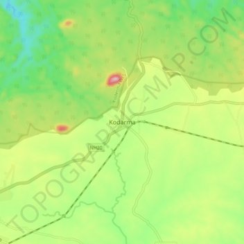
Name: Kodarma topographic map, elevation, terrain.
Location: Kodarma, Koderma, Kodarma District, Jharkhand, 825410, India (24.42755 85.55396 24.50755 85.63396)
Average elevation: 1,247 ft
Minimum elevation: 889 ft
Maximum elevation: 1,795 ft