Geolocate

swara topographic map

Click on the map to display elevation.

About this map

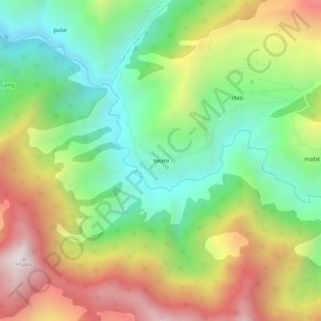
Name: swara topographic map, elevation, terrain.

Location: swara, Gandoh, Doda District, Jammu and Kashmir, India (33.01669 75.94307 33.05669 75.98307)

Average elevation: 7,057 ft

Minimum elevation: 5,200 ft

Maximum elevation: 9,665 ft

Gear up for your next adventure:

👓Polarized Sunglasses - Outdoor sunglasses for glare reduction
📖Nature Tracking Books - Learn to track wildlife and terrain
🦺Reflective Outdoor Gear - Safety gear for low‑light conditions
📱Solar Portable Charger - Solar power bank for charging devices off‑grid
🦟Ultrasonic Repellers - Create a bug-free zone at your camp or rest stop

As an Amazon Associate, this site earns from qualifying purchases at no extra cost to you.