Geolocate

Sandy Beach topographic map

Click on the map to display elevation.

About this map

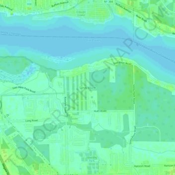
Name: Sandy Beach topographic map, elevation, terrain.

Location: Sandy Beach, Town of Grand Island, Erie County, New York, 14304, United States (43.03645 -78.97976 43.07645 -78.93976)

Average elevation: 574 ft

Minimum elevation: 558 ft

Maximum elevation: 594 ft

Other topographic maps

Click on a map to view its topography, its elevation and its terrain.

Gear up for your next adventure:

🌡️Portable Weather Meter - Track weather conditions on the trail
🌎3D Topographic Globes - Raised relief globes for a tactile understanding of geography
👖Convertible Hiking Pants - Versatile zip-off pants for changing altitudes and temperatures
🥾Men's Hiking Boots - Durable, waterproof footwear for rugged terrain and steep inclines
🪶Trail Camera - Capture wildlife on your hikes

As an Amazon Associate, this site earns from qualifying purchases at no extra cost to you.