
Jeremy Ranch topographic map
Click on the map to display elevation.
About this map
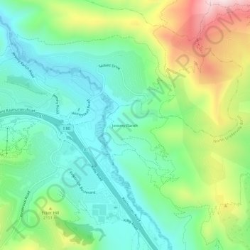
Name: Jeremy Ranch topographic map, elevation, terrain.
Location: Jeremy Ranch, Summit County, Utah, 84098, United States (40.73411 -111.57937 40.77411 -111.53937)
Average elevation: 6,719 ft
Minimum elevation: 6,207 ft
Maximum elevation: 7,825 ft
Utah trails, hiking, mountain biking, running and outdoor activities