
Devils Knob topographic map
Click on the map to display elevation.
About this map
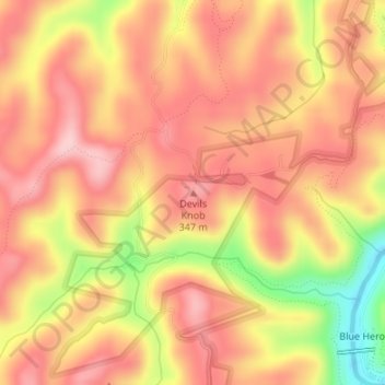
Name: Devils Knob topographic map, elevation, terrain.
Location: Devils Knob, McCreary County, Kentucky, United States (36.68125 -84.56287 36.68135 -84.56277)
Average elevation: 1,132 ft
Minimum elevation: 719 ft
Maximum elevation: 1,342 ft
McCreary County trails, hiking, mountain biking, running and outdoor activities
Other topographic maps
Click on a map to view its topography, its elevation and its terrain.