Geolocate

Navali topographic map

Click on the map to display elevation.

About this map

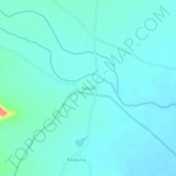
Name: Navali topographic map, elevation, terrain.

Location: Navali, Gangavati taluku, Koppal district, Karnataka, India (15.63053 76.52276 15.67053 76.56276)

Average elevation: 1,483 ft

Minimum elevation: 1,444 ft

Maximum elevation: 1,749 ft

Gear up for your next adventure:

🏕️Tent Footprint - Protect your tent base from wear
🥘Titanium Cookware - Durable, featherlight pots and pans for backpacking
📌Outdoor GPS Map App - Apps and devices for digital topographic navigation
🔋Solar Power Banks - Keep your GPS and phone charged in remote wilderness areas
🦶Carbon Trekking Poles - Reduce knee impact on steep descents with ultra-light poles

As an Amazon Associate, this site earns from qualifying purchases at no extra cost to you.