Geolocate

Albaredo topographic map

Click on the map to display elevation.

About this map

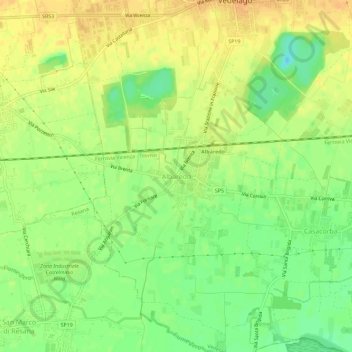
Name: Albaredo topographic map, elevation, terrain.

Location: Albaredo, Vedelago, Treviso, Veneto, 31050, Italia (45.64667 11.98849 45.68667 12.02849)

Average elevation: 112 ft

Minimum elevation: 52 ft

Maximum elevation: 151 ft

Gear up for your next adventure:

🪑Portable Camp Table - Compact table for campsite meals
Backpacking Tents - Weight-optimized shelters for multi-day topographic surveys
🎒Hydration Pack - Hands‑free water reservoir for long hikes
🔪Outdoor Multitools - Essential survival tools for gear repair and field use
🔭Stargazing Telescopes - Perfect for camping in low-light pollution areas shown on maps

As an Amazon Associate, this site earns from qualifying purchases at no extra cost to you.