Geolocate

Galeton topographic map

Click on the map to display elevation.

About this map

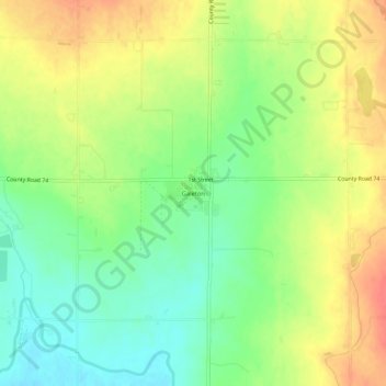
Name: Galeton topographic map, elevation, terrain.

Location: Galeton, Weld County, Colorado, 80622, United States (40.50081 -104.60579 40.54081 -104.56579)

Average elevation: 4,790 ft

Minimum elevation: 4,701 ft

Maximum elevation: 4,882 ft

Weld County trails, hiking, mountain biking, running and outdoor activities

Gear up for your next adventure:

🔦Powerful Headlamps - Ultra-bright hands-free lighting for night navigation
GPS Sports Watch - GPS watch for running, hiking and training
☀️Outdoor Sunscreen - High protection sunscreen for outdoor activities
🕶️Glacier Sunglasses - Side shields to protect eyes from high-altitude snow glare
🎒Hydration Pack - Hands‑free water reservoir for long hikes

As an Amazon Associate, this site earns from qualifying purchases at no extra cost to you.