
Hattar topographic map
Click on the map to display elevation.
About this map
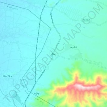
Name: Hattar topographic map, elevation, terrain.
Location: Hattar, Khyber Pakhtunkhwa, 22610, Pakistan (33.81070 72.81004 33.89070 72.89004)
Average elevation: 1,850 ft
Minimum elevation: 1,476 ft
Maximum elevation: 3,963 ft