Geolocate

Chart Sutton topographic map

Click on the map to display elevation.

About this map

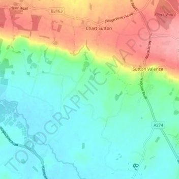
Name: Chart Sutton topographic map, elevation, terrain.

Location: Chart Sutton, Maidstone, Kent, England, United Kingdom (51.18298 0.54950 51.23116 0.58706)

Average elevation: 177 ft

Minimum elevation: 43 ft

Maximum elevation: 443 ft

Gear up for your next adventure:

🔭Telescopic Hiking Pole - Adjustable pole for hiking stability
🥇GPS Hiking Watch - Multi‑sport GPS watch with navigation and trail tracking
🔦LED Headlamp - Bright and durable LED headlamp for night navigation
🥘Titanium Cookware - Durable, featherlight pots and pans for backpacking
🪑Ultralight Camp Chairs - Portable seating for resting after a long day of mapping

As an Amazon Associate, this site earns from qualifying purchases at no extra cost to you.