
Thank you for supporting this site ❤️
Make a donation
Make a donation
Gear up for your next adventure:
As an Amazon Associate, this site earns from qualifying purchases at no extra cost to you.
Kon Tum topographic map
Click on the map to display elevation.
Thank you for supporting this site ❤️
Make a donation
Make a donation
Gear up for your next adventure:
As an Amazon Associate, this site earns from qualifying purchases at no extra cost to you.
About this map
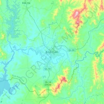
Name: Kon Tum topographic map, elevation, terrain.
Location: Kon Tum, Kon Tum City, Kon Tum province, 580000, Vietnam (14.20153 107.84391 14.52153 108.16391)
Average elevation: 2,060 ft
Minimum elevation: 1,644 ft
Maximum elevation: 4,249 ft
Thank you for supporting this site ❤️
Make a donation
Make a donation
Gear up for your next adventure:
As an Amazon Associate, this site earns from qualifying purchases at no extra cost to you.