
Thank you for supporting this site ❤️
Make a donation
Make a donation
Gear up for your next adventure:
As an Amazon Associate, this site earns from qualifying purchases at no extra cost to you.
Ampitambe topographic map
Click on the map to display elevation.
Thank you for supporting this site ❤️
Make a donation
Make a donation
Gear up for your next adventure:
As an Amazon Associate, this site earns from qualifying purchases at no extra cost to you.
About this map
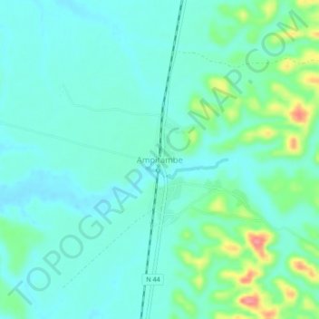
Name: Ampitambe topographic map, elevation, terrain.
Location: Ampitambe, Alaotra-Mangoro, Toamasina Province, Madagascar (-18.86640 48.21219 -18.82640 48.25219)
Average elevation: 2,989 ft
Minimum elevation: 2,923 ft
Maximum elevation: 3,219 ft
Thank you for supporting this site ❤️
Make a donation
Make a donation
Gear up for your next adventure:
As an Amazon Associate, this site earns from qualifying purchases at no extra cost to you.
Other topographic maps
Click on a map to view its topography, its elevation and its terrain.