
Make a donation
Gear up for your next adventure:
As an Amazon Associate, this site earns from qualifying purchases at no extra cost to you.
Ewaso topographic map
Click on the map to display elevation.
Make a donation
Gear up for your next adventure:
As an Amazon Associate, this site earns from qualifying purchases at no extra cost to you.
About this map
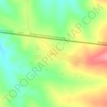
Name: Ewaso topographic map, elevation, terrain.
Location: Ewaso, Laikipia North, Laikipia County, Rift Valley, Kenya (0.53948 36.88138 0.57948 36.92138)
Average elevation: 5,295 ft
Minimum elevation: 5,148 ft
Maximum elevation: 5,476 ft
Make a donation
Gear up for your next adventure:
As an Amazon Associate, this site earns from qualifying purchases at no extra cost to you.
Other topographic maps
Click on a map to view its topography, its elevation and its terrain.
Naibunga Central Community Conservancy
Kenya > Laikipia County > Laikipia North > Tura
Average elevation: 5,692 ft
Make a donation
Gear up for your next adventure:
As an Amazon Associate, this site earns from qualifying purchases at no extra cost to you.