
Straumen topographic map
Interactive map
Click on the map to display elevation.
About this map
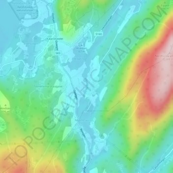
Name: Straumen topographic map, elevation, terrain.
Location: Straumen, Bahus, Fana, Bergen, Vestland, 5212, Norwegen (60.25883 5.43937 60.26139 5.44035)
Average elevation: 446 ft
Minimum elevation: 148 ft
Maximum elevation: 1,227 ft
Other topographic maps
Click on a map to view its topography, its elevation and its terrain.