
Ytrebygda topographic map
Interactive map
Click on the map to display elevation.
About this map
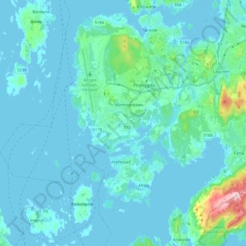
Name: Ytrebygda topographic map, elevation, terrain.
Location: Ytrebygda, Bergen, Vestland, Norwegen (60.22454 5.14458 60.32705 5.32889)
Average elevation: 95 ft
Minimum elevation: -13 ft
Maximum elevation: 997 ft
Other topographic maps
Click on a map to view its topography, its elevation and its terrain.