
Wasi River topographic map
Interactive map
Click on the map to display elevation.
About this map
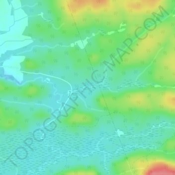
Name: Wasi River topographic map, elevation, terrain.
Location: Wasi River, Chisholm, Nipissing District, Ontario, Canada (46.07284 -79.11719 46.07430 -79.11071)
Average elevation: 1,109 ft
Minimum elevation: 1,030 ft
Maximum elevation: 1,299 ft