
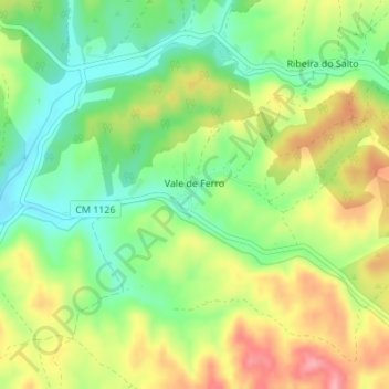
Vale de Ferro topographic map
Interactive map
Click on the map to display elevation.
About this map
Name: Vale de Ferro topographic map, elevation, terrain.
Location: Vale de Ferro, Relíquias, Odemira, Beja, Portugal (37.68093 -8.55428 37.68923 -8.54498)
Average elevation: 433 ft
Minimum elevation: 269 ft
Maximum elevation: 636 ft
Other topographic maps
Click on a map to view its topography, its elevation and its terrain.